29th April 2023
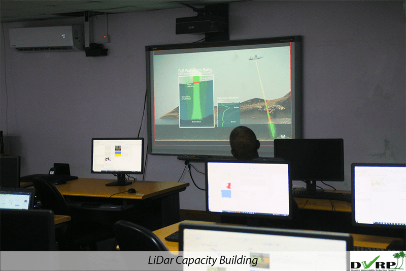
DVRP facilitates a capacity building exercise in the use of LiDar Technology
By DVRP


The Disaster Vulnerability Reduction Project (DVRP) facilitates a capacity building exercise in the use of LiDar Technology. LiDar is an acronym for light detection and ranging. The technology is used to determine distances by targeting an object or a surface with a laser. However, the technology has many other uses.
A joint venture between Woolpert and Geomatics Data Solutions Ltd. was contracted by the Government of Saint Lucia to collect and analyse LiDar Data.
Geographic Information Officer with the Department of Physical Development and Urban Renewal, Suzanna Aurelien says the data was unveiled during a capacity building exercise for the use of the technology.
“What is happening today is they actually presented their results, so they gave us a snapshot of what was given to our ministry and to the quality control consultant so persons are able to see or have a sneak peak of the products that they will receive,” Aurelien continues. “They also had an introduction into LiDar so persons are actually more aware of the actual analysis that they can undertake using LiDar and aerial photo data and how this can actually help them to improve the efficiency of their work processes. “
Lidar can be used to make high resolution maps. It can be applied in the fields of surveying, archaeology, geography, geology, seismology, forestry and agriculture. It is also commonly used to make 3D representations of areas on the Earth’s surface, ocean bottoms and near coastal zones. Self-Driving/autonomous cars also use the technology to detect obstacles.
When the surface of a selected object is targeted by the laser technology the data is received via software. The data comes in the form of a unique identifier. Aurelien further explains the data’s use.
“The unique identifiers are so unique, when you are reading the signature you are actually able to do further analysis such as it’s a tree, it can tell you the type of tree or the family of the tree that it can capture. It can tell you the type of soil, it can tell you the permeability of the soil, it can tell you the water content of the soil. These are the types of details that that kind of data would give you so it would support agriculture. It would actually tell you OK according to the permeability of the soil, according to the water content, so this kind of crop could be grown there, “
Various stakeholders participated in the exercise on LiDar data. These groups include the Central Statistics Office, The Ministry of Infrastructure, LUCELEC, The Royal Saint Lucia Police Force, SLASPA, WASCO, The Water Resource Management Agency.

TO RECEIVE NEWS NOTIFICATIONS VIA WHATS APP PLEASE SAVE OUR NUMBER AND SEND US A MESSAGE AT 7584896261 AND WE WILL ADD YOU TO OUR LIST


