29th August 2021
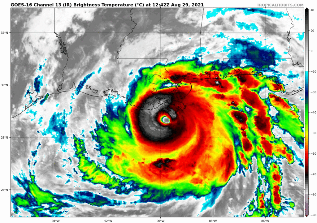
Extremely dangerous Hurricane Ida Explodes Into Category 4 Just Hours Before Landfall
By The Weather Channel
[DISPLAY_ULTIMATE_SOCIAL_ICONS]

Hurricane Ida has strengthened into a Category 4 just hours ahead of landfall in southeast Louisiana, where it will bring life-threatening storm surge, catastrophic winds and dangerous rainfall flooding.
Ida had winds of 150 mph as of 7 a.m. CDT on Sunday, making it a strong Category 4 hurricane. Maximum sustained winds in Ida increased by 65 mph in the 24 hours ending 7 a.m. CDT, which easily meets the criteria for the rapid intensification of a tropical cyclone.
If Ida makes landfall with 150-mph winds, then it would tie as the strongest hurricane landfall on record in Louisiana based on maximum sustained winds. The other two hurricanes to make landfall in the state with winds that high are Laura from a year ago and an 1856 hurricane.
Bands of heavy rain containing strong wind gusts are spreading into the northern Gulf Coast ahead of Ida's landfall.
Wind gusts over 100 mph have been clocked at elevated weather stations along the coast of southeast Louisiana. Storm surge has pushed water levels about 4 feet above normal at Shell Beach, Louisiana.
Ida is centered 50 miles south-southwest of the southeastern tip of Louisiana and is moving to the northwest at 15 mph. Landfall in southeast Louisiana should occur in the next several hours.
Weakening of Ida to a tropical storm and then a tropical depression is expected as it tracks inland through the lower Mississippi and Tennessee valleys early this week.
The National Weather Service has issued an extreme wind warning for far southeast Louisiana until at least 10:45 a.m. CDT. This means winds of 115 to 150 mph are possible in this area.

TO RECEIVE NEWS NOTIFICATIONS And Covid NEWS VIA WHATS APP PLEASE SAVE OUR NUMBER AND SEND US A MESSAGE AT 7584896261 AND WE WILL ADD YOU TO OUR LIST
[DISPLAY_ULTIMATE_SOCIAL_ICONS]


